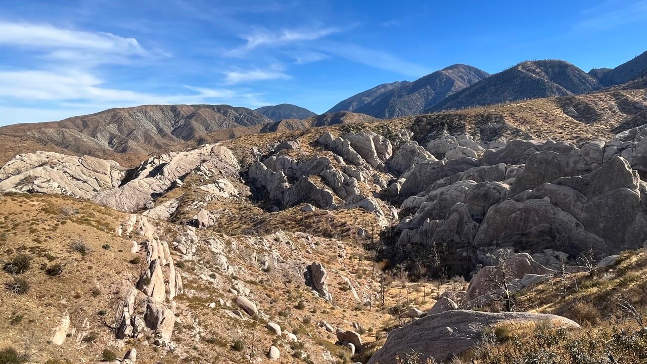
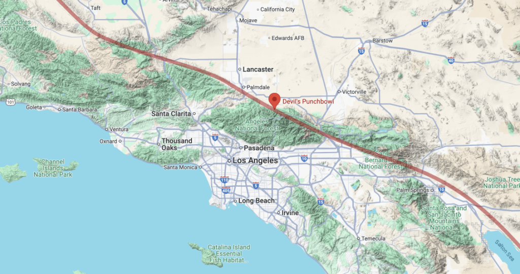
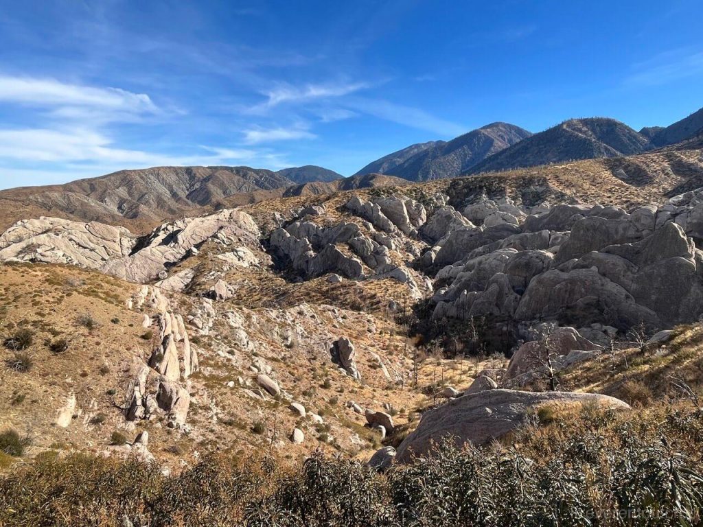
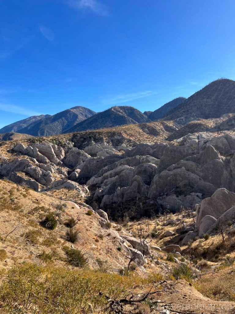
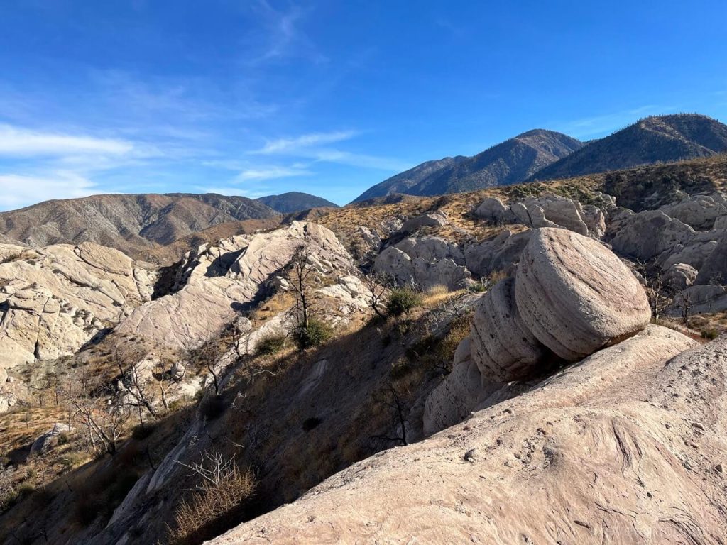
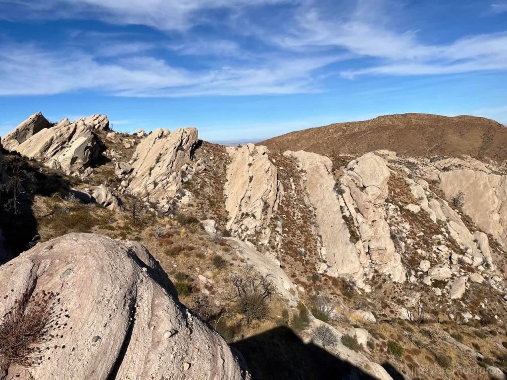
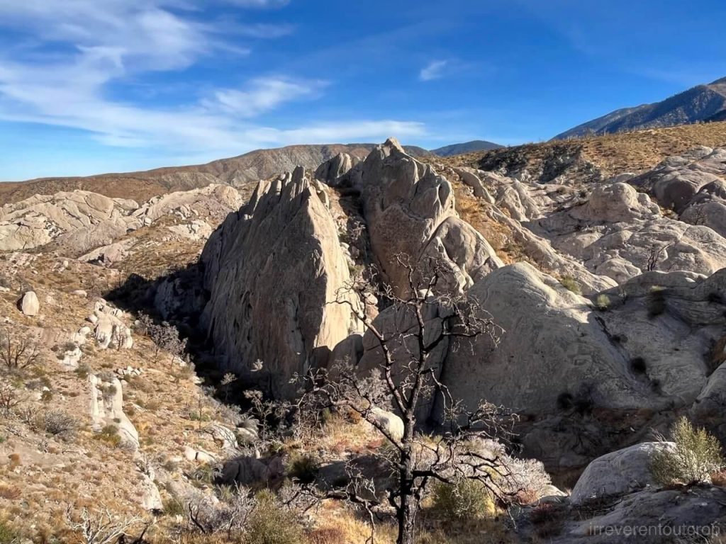
North of Los Angeles lies a striking sandstone outcrop known as the Devil’s Punchbowl.
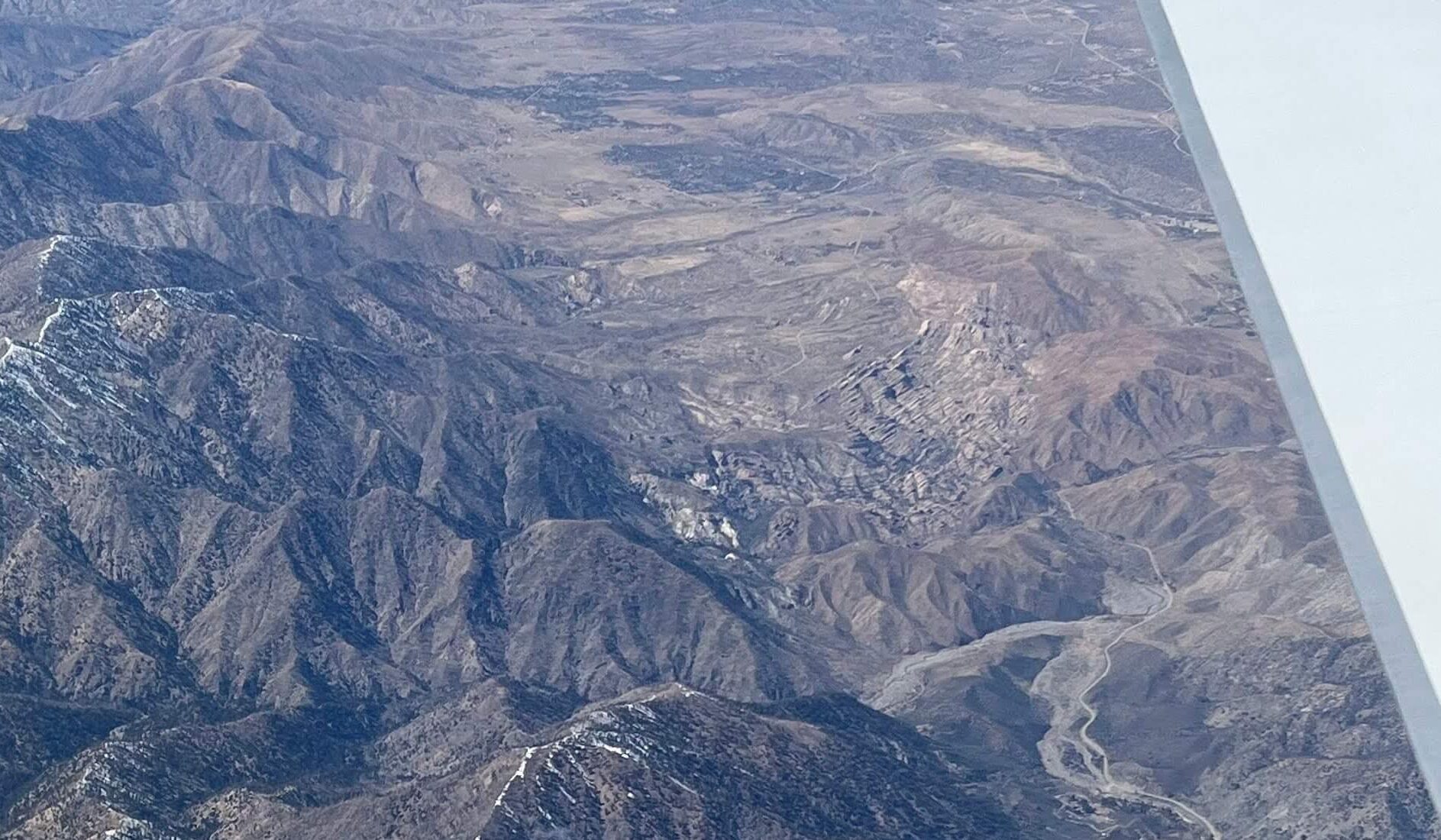
I’d seen it before from the air— it’s right where the Transverse Ranges of Southern California give way to the Mojave Desert, directly adjacent to the San Andreas Fault. But it was not until this year that I finally had a chance to visit.
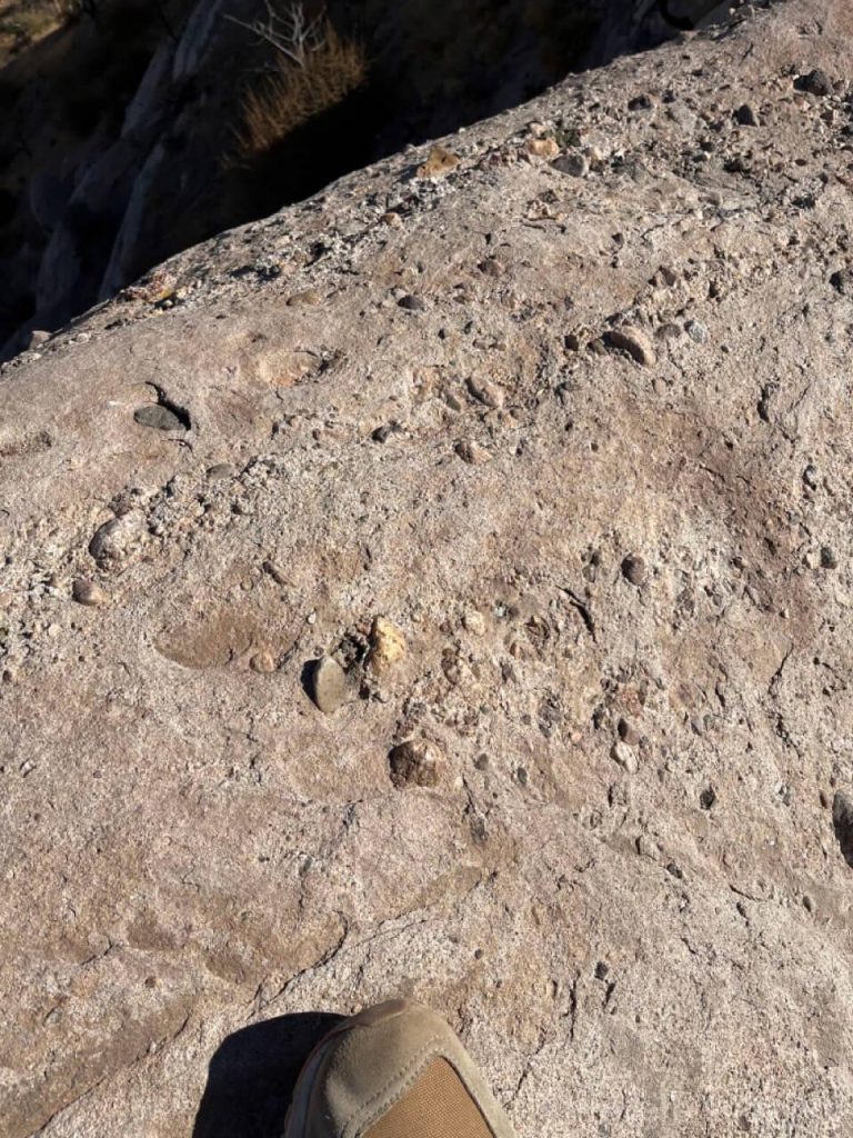
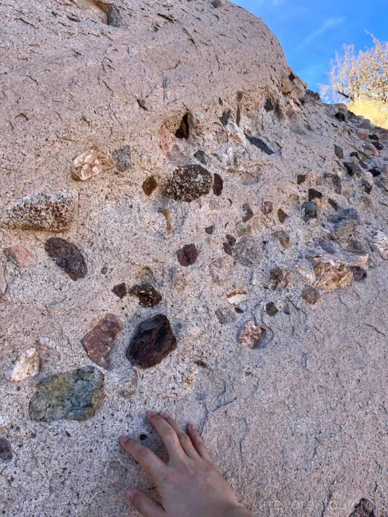
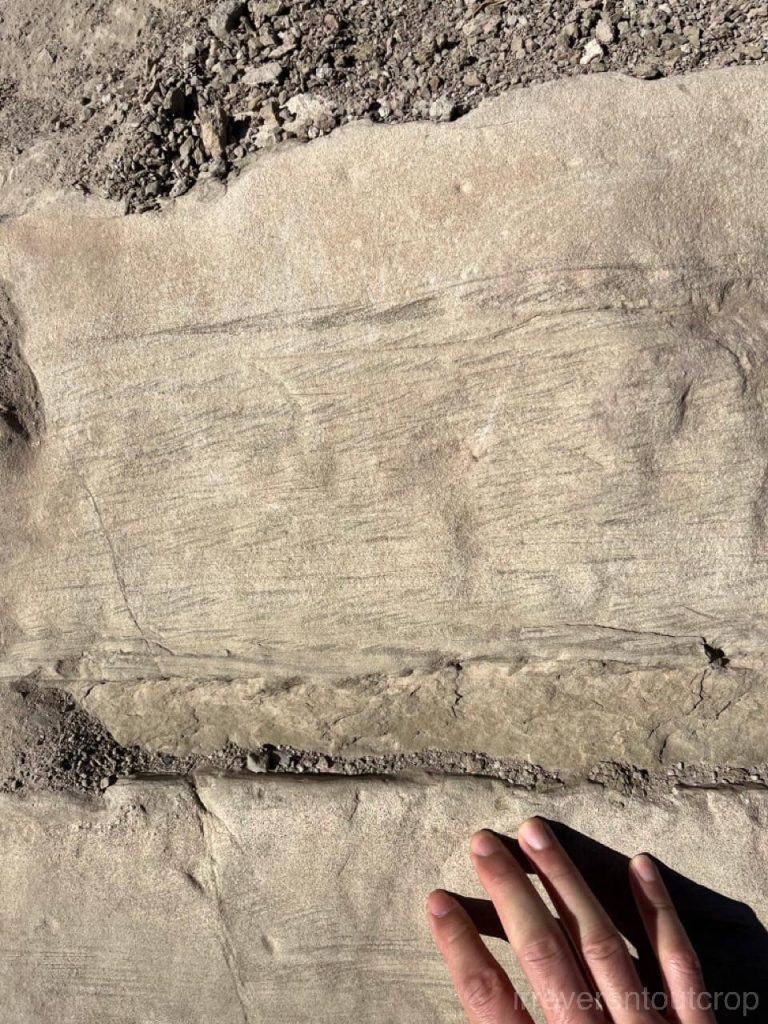
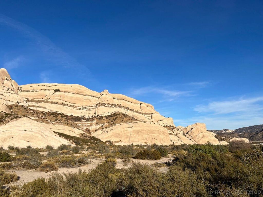
The area’s sedimentation dates back to the Miocene, around 10 million years ago. Since then, tectonic forces from the Pacific and North American tectonic plates, acting along strike-slip faults, have dramatically folded the originally horizontal layers. Some now stand nearly vertical. Weathering and stream erosion have since stripped away the softer materials on the furface, leaving behind the dramatic sandstone outcrops we see today.
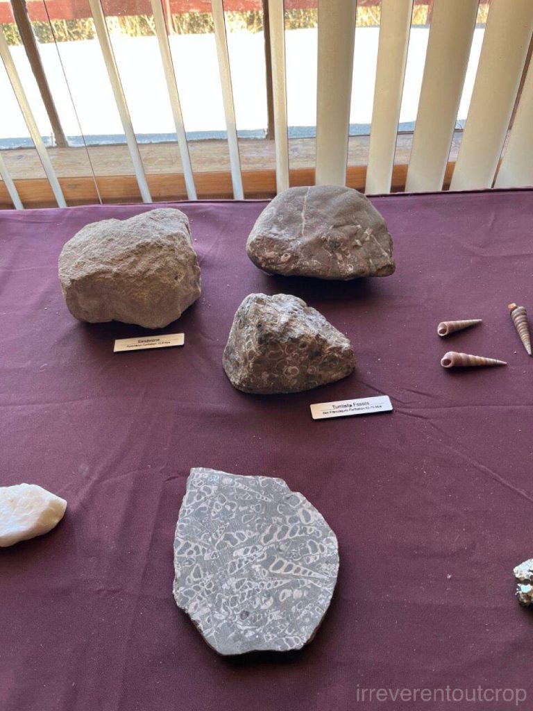
The visitor center at the park entrance displays local fossil specimens.
The trails in the park are quite easy and don’t require special gear.
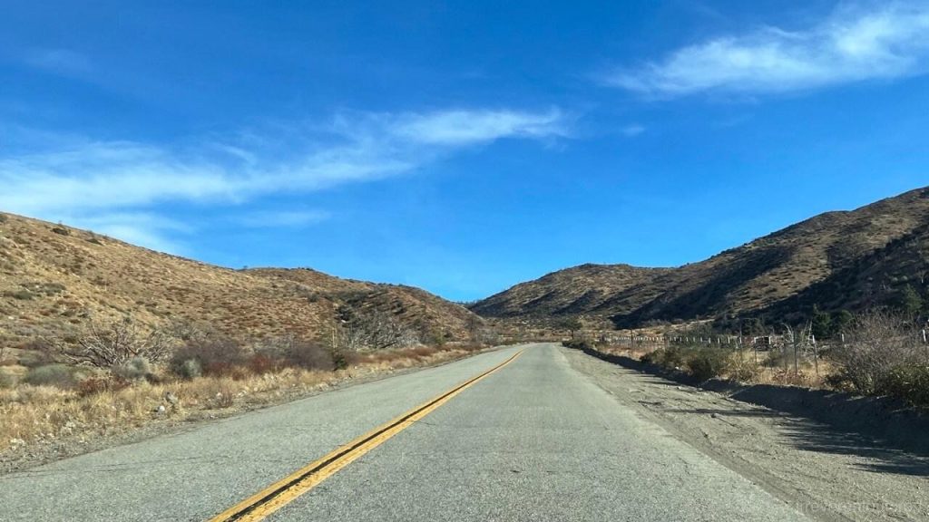
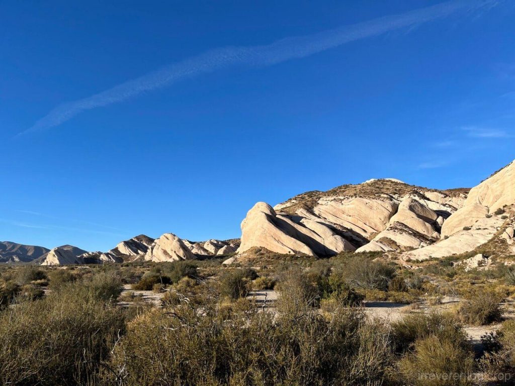
After seeing the Devils’ Punchbowl, we then followed the fault line southeast to another sandstone outcrop: Mormon Rocks. The Big Pines Highway passes through two distinct tectonic plates, with each side belonging to a different chunk of Earth’s crust.
Mormon Rocks sit just north of Highway 138, west of the I-15 at Cajon Junction. There’s a parking lot right up front that we can stop for a close look.
The end!